Digital 3D Documentation of a Mine Shaft in the Trzebiel Municipality
Digital 3D Documentation of a Mine Shaft in the Trzebiel Municipality
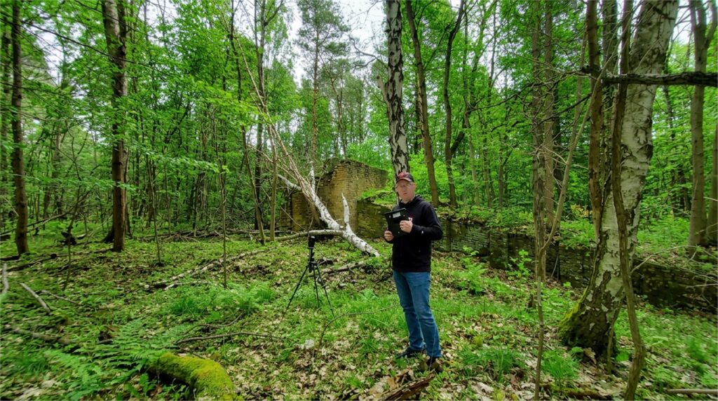
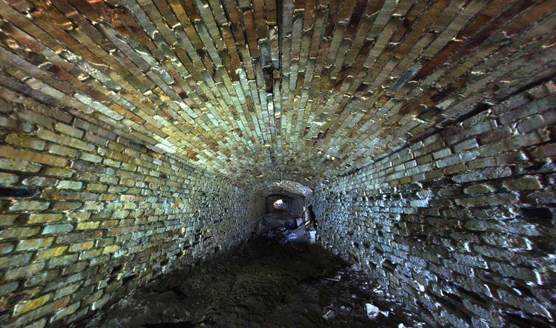
On 8 July 2026, field surveying was carried out at a mine shaft located in the Trzebiel municipality. The measurements were conducted by a team from Wrocław University of Science and Technology.
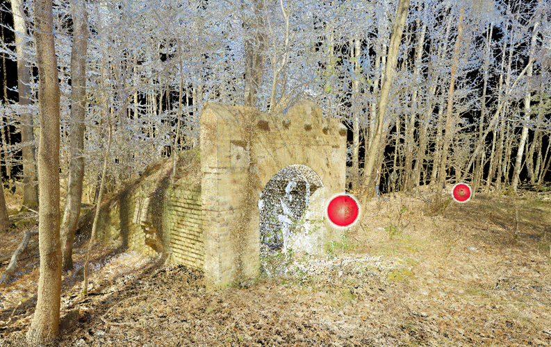
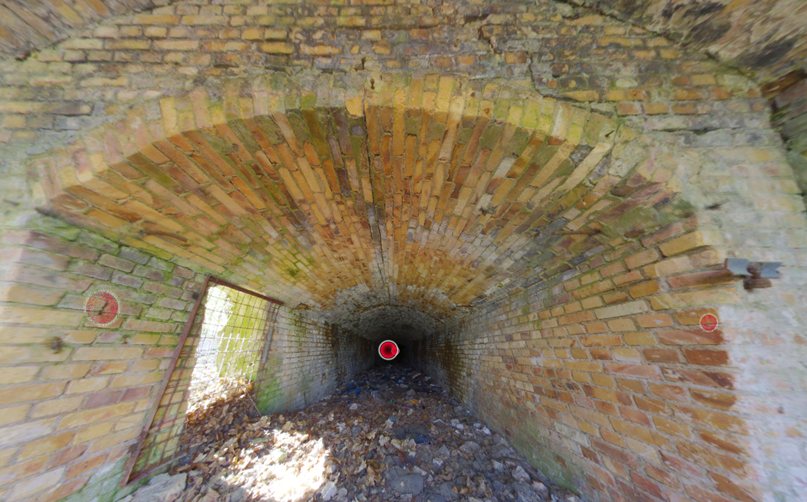
The survey aimed to acquire high-resolution spatial data for documenting the geometry of the site and developing its digital 3D model. The fieldwork included:
measurements using a Leica BLK360 terrestrial laser scanner (TLS) and a SLAM sensor, enabling the acquisition of dense point clouds of the mine shaft and its immediate surroundings;
measurements from multiple scanning positions to ensure comprehensive coverage of the site and minimise occluded areas;
photographic documentation to support data interpretation and the subsequent visualisation of the results.
The acquired data will be used for further processing, including point cloud registration and filtering, the preparation of three-dimensional documentation of the site, and analysis of its 3D geometry. The resulting data will also serve as the basis for developing a 3D model for an augmented reality (AR) application.
The project “Digital journey through Muskau Arch Geopark” is co-financed by the European Union with funds from the European Regional Development Fund as part of the Poland-Saxony 2021-2027 INTERREG Cooperation Program.